We are in Dushanbe at the moment which is the European looking and feeling capital of Tajikistan, the third of the "stans" we have been too so far. After an arduous ride from Osh in Kyrgyzstan we reached the border town of Sary-Tash in Kyrgyzstan where the road splits to take you either south to the Kyrgyz/Tajik border crossing at the Kzyl-Art Pass or east to the Kyrgyz/Chinese border crossing at the Irkeshtam Pass.
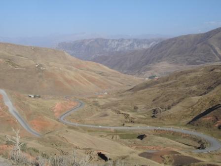
The road from Osh to Sary-Tash
Early the next morning a short ride from Sary-Tash took us to the Kyrgyz border crossing (some ten to twelve miles before the Tajik border crossing) and we passed through into what was, I suppose, technically no-man's land between the two border posts. Almost immediately the semi-tarmac'd road we had been riding on until then vanished and was replaced with a rocky track and just as we had got the hang of these conditions the road then started the very steep climb to the 4282 metre Kzyl-Art Pass and the surface again changed, but this time to a mixture of sand and loose mud which made for an even harder ride. When we eventually crossed the Tajik border we were filled with a real sense of fear that the rest of our ride to the first significant town in Tajikistan (Murgab) would be similarly difficult; however, our fears were allayed when the road almost immediately turned to smooth tarmac and we set a good pace from the border crossing to Lake Kara-Kul. Lake Kara-Kul, formed over ten million years ago by a meteorite, is a huge and seemingly lifeless lake set at just less than 400metres. Karakul, the village on the shores of the lake, supports a small community although given that the lake has, from what I have heard, no marine life and I could see no signs of farming or other means of support I cannot see why anyone would or indeed could live there.
Passing Lake Kara-Kul we followed, at times no more than a few feet away, the Chinese border across the plateau of the Pamir mountain range (called Bam-i-Dunya or The Roof of the World by the locals) at something like 3500 - 400 metres until, when we stopped for a break after a couple of hour or so, we could see ahead of us the road climbing higher to join the 4655 metres high and snow covered Ak-Baital Pass.
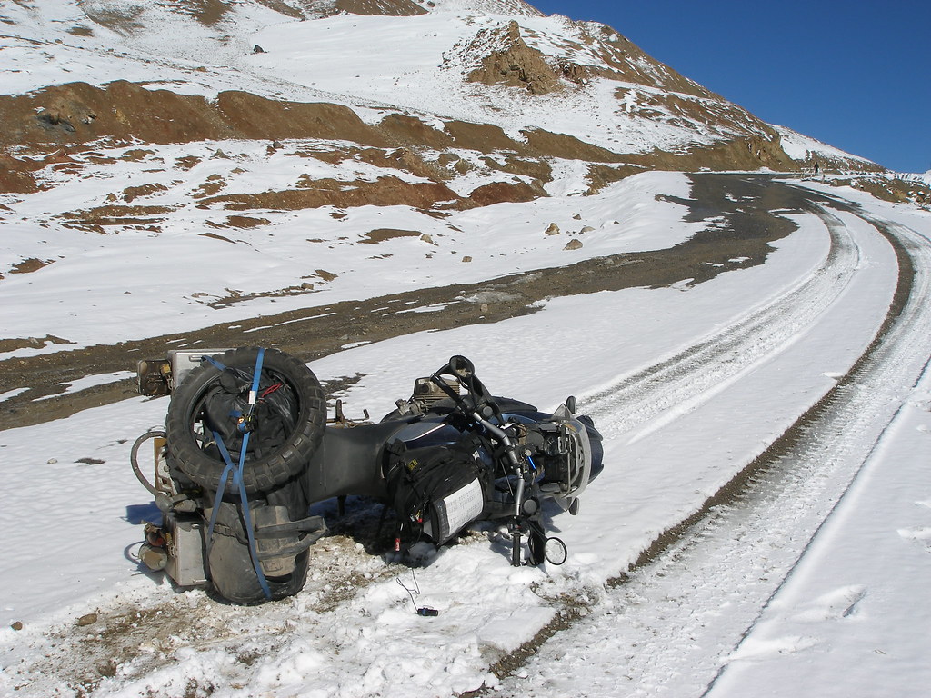
Tom's bike takes a fall in the snow on the Ak-Baital Pass
The snow on this pass caused havoc with our bikes and both of us had numerous close calls as the bikes failed to grip on the snow. Our troubles culminated in Tom having a bad fall when his road tyres completely failed to grip on the snow and he was flipped off though luckily not hurting himself in the fall. Aside from a slight dent to one of his panniers his bike was similarly OK and we tentatively continued to Murgab making good time and arriving there in the late afternoon as the roads improved dramatically when we came down from the pass.
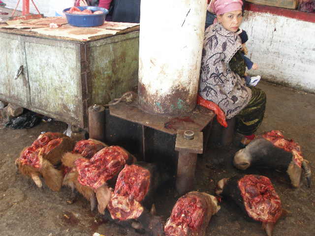
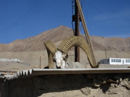
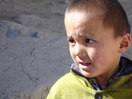
The skull of something that had big horns and a little boy in Murgab
Murgab is a slightly larger settlement than Karakul but still shows few signs of being able to fully support the community and it is for that reason that foreign aid agencies are present in the town and are trying to build tourist programmes in order that the residents can supplement their meagre incomes by having a structured and comprehensive tourist industry available. We saw visible signs of this when we were found by one of these aid agencies (an NGO called ACTED) a homestay with a local family and given assistance in registering our visas and the GBAO permit we need in order to travel the Pamir Highway.
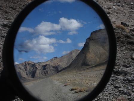
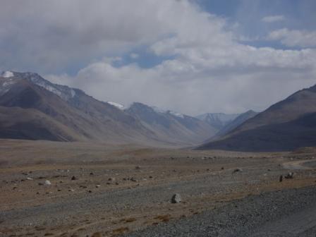
The Pamir plateau surrounded the mountains of the Pamir range on the road to Khorog
Leaving Murgab the next day we followed the Chinese border further south before the road turned west and we headed across the Pamir plateau to the region’s capital Khorog. We reached Khorog late in the day and spent a couple of days in the town seeing the sights (a Botanical Garden, a bazaar and a small museum) before we headed to the hot springs of Garam Chasma. Khorog is right next to Afghanistan and as we followed the Afghan border south to Garam Chasma we could see all along the way signs of an increased police and military presence. When we had been on the Pamir Highway we had already seen signs of a military presence with regular checkpoints along the way, but near Afghanistan the police presence was even more intense. I understand that this is primarily because of the sheer amount of drugs smuggled over the border into Tajikistan and from here into the other CIS states and then Russia. Given the porous nature of the Afghan/Tajik border the Russian authorities are keen to try to clamp down on the smuggling and to this end have provided the Tajik authorities with so much police and military assistance that the Russians feel that this is more of a Russian rather than a Tajik border. We left Khorog after spending a relaxing day at the hot springs with a Tajik policeman who should have been on duty stopping drug smugglers, but instead preferred to hitch a ride on our bikes and have a soak in the springs and an elderly man who after talking to us for an hour or so showed us the real reason he was at the springs which was a well advanced gangrenous thumb he was sure could be healed by regular exposure to the healing waters.
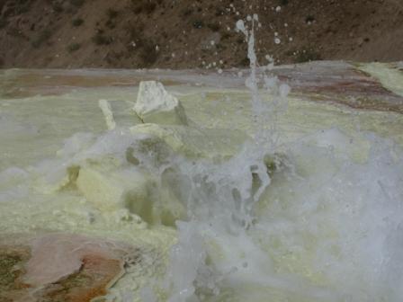
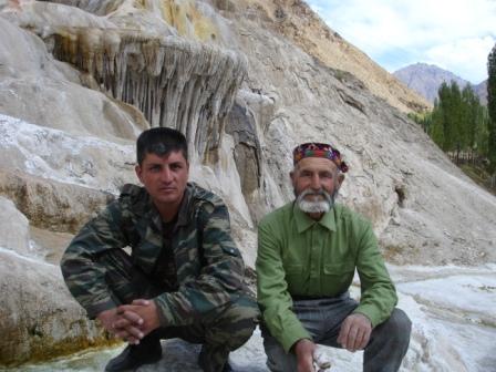
The healing waters of Garam Chasma, the Tajik policeman and the man with the dodgy thumb
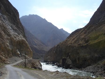
The journey from Khorog to Dushanbe was, according to the map, a mere three hundred miles (or if we took the longer all season route just short of four hundred miles); it was therefore with a degree of arrogance that we now know was misplaced we left Khorog early on the Sunday morning intending on making Dushanbe that evening. By the end of that evening we had covered one hundred and fifty miles and were shattered. The road had wound through the mountains following the Panj River which marks the border between Tajikistan and Afghanistan. The narrowness of the road and the fact that for the most it consisted of very badly maintained tarmac meant that when we arrived in Kala-i-Khumb at three we knew we were never going to make Dushanbe before dark and so we reluctantly stopped for the night there
The road from Khorog to Kala-i-Khumb with Afghanistan on the other side of the River Panj
Despite the fact that the journey from Khorog had been so bad, we still were somewhat surprised when everyone we spoke to in Kala-i-Khumb gave us an estimate of somewhere between eight to ten hours for the rest of the journey to Dushanbe (one hundred and fifty to two hundred and fifty miles depending on which route we took) and so when we left Kala-i-Khumb at dawn the next morning we had hopes of getting to Dushanbe by early afternoon. We had decided to take the all season route as the summer route took us high into the mountains and we couldn’t face more snow and all was going well as we met excellent, wide and fast roads and next to no traffic for an hour or so.
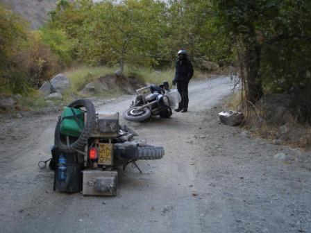
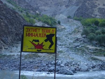
Both our bikes take a fall on the "road" from Kala-i-Khumb to Dushanbe, but luckily the landmines were elsewhere
Then out of the blue this road turned into a three foot wide track which for the next five hours took us through rivers, along dry river beds, over rickety bridges and across terrain made up of everything from sand, gravel, small stones and big boulders.
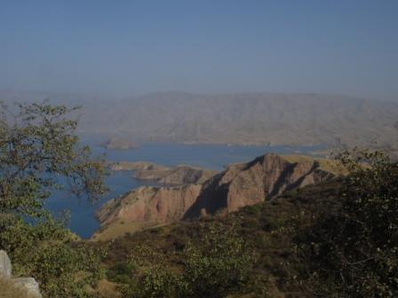
The spectacular lake formed by the Nurek Dam not far from Dushanbe
Arriving at Dushanbe about ten hours later we were still amazed that the all weather main road from Khorog to Dushanbe could be quite as bad as it was and we are conscious that our bikes should probably have a check before we go any further; Tom’s panniers in particular suffered badly from a couple of falls he had and so over the next few days we will have to try our hand at a bit of DIY panel beating. Watch this space for whether we succeed with this or not!
Written by Peter
